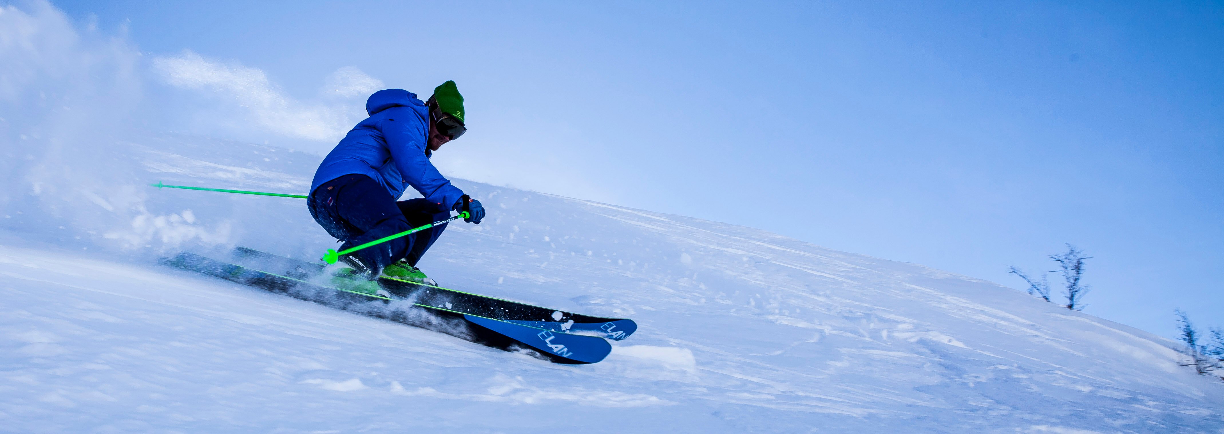
The national weather serviced has issued an alert for Summit County areas about 9,000 feet. And as usual for this time of year, A Basin in Summit County is the only ski area in the state that still has the lifts turning. For Breckenridge skiers and snowboarders, that's great news because your pass also works at Arapahoe Basin.
If you feel like skiing some May powder, head up this weekend, then roll back through Breckenridge over Swan Mountain for a few weekend on the town.
A strong spring storm will drop south across the Great Basin
tonight and Thursday. It then moves slowly east across Colorado
Thursday night through Friday evening. Significant snow is
expected with this storm if it continues on the current forecasted
track. If the storm track moves further north, then the Southern
Front Range Foothills may receive much less snowfall.
This storm is expected to bring rain and possibly snow to the
Urban Corridor including the Denver Metro area. The coldest air
and best chance for snow is expected to be Thursday night and
Friday for the Denver area. Significant snow for the Denver area
is possible.

...WINTER STORM WARNING REMAINS IN EFFECT UNTIL 6 PM MDT FRIDAY...

* TIMING...snow will become widespread tonight and is expected to
to continue through Friday afternoon.

* SNOW ACCUMULATIONS...12 to 24 inches of snow expected with up
to 36 inches on favored east slopes, including Rocky Mountain
National Park.

* WIND/VISIBILITY...Visibility will fall below a quarter mile in
heavy snow.

* IMPACTS...Roads will become snow and slush covered. Wet snow
may accumulate on leafed out trees, resulting in broken tree
limbs and power outages.


